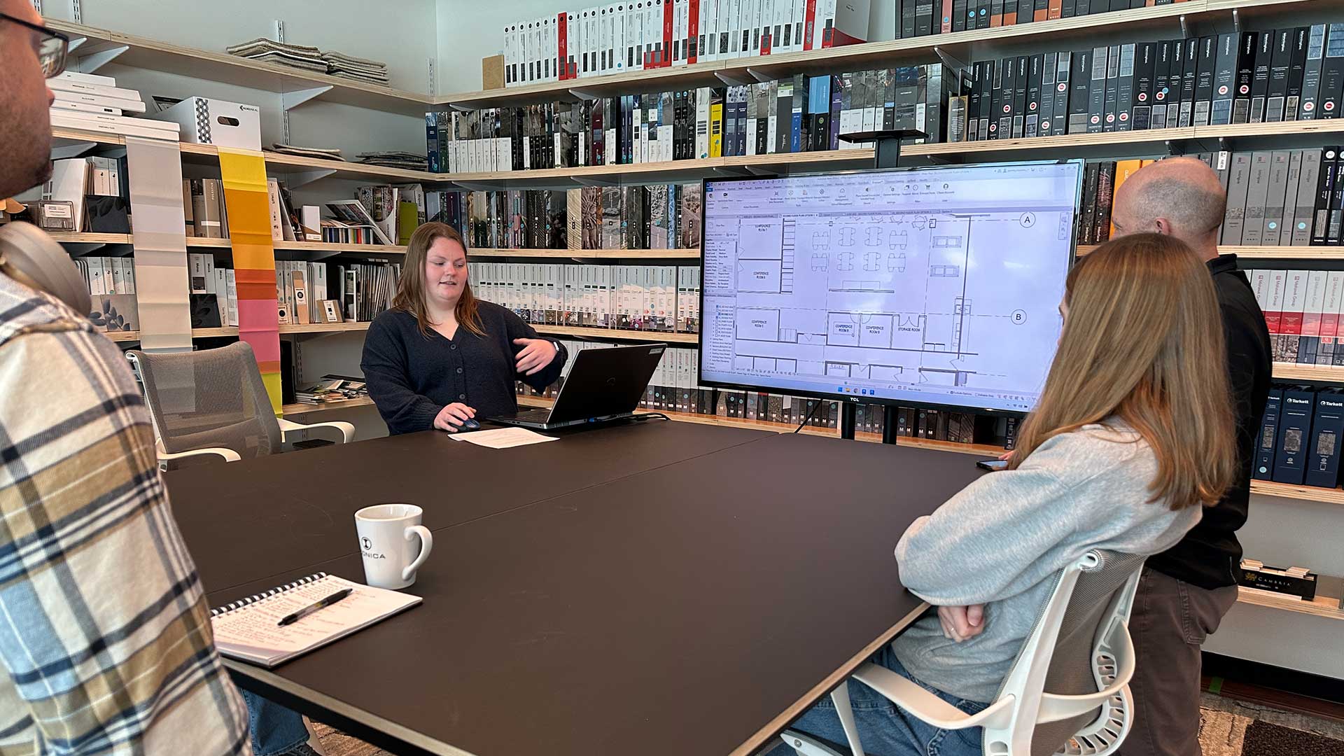
This year, six students are joining our Madison, Wisconsin design-build team across MEP engineering, architecture,…
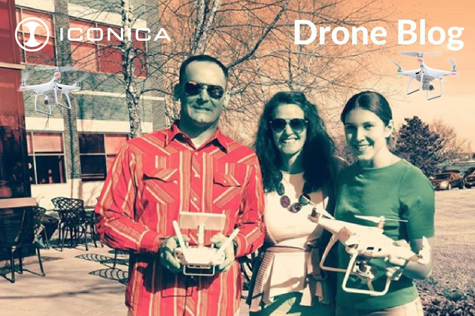
Drones in Construction
One year into purchasing a drone, we’ve had staff licensed to fly and be able to take photos, videos, and survey land. Along the way, we’ve learned that drones have many benefits for the construction industry. Here’s our top ten list of benefits and advice from our experiences.
10 Benefits of Using Drones in Construction:
1. Photography of job sites is easier. No need to find a higher location to photograph from; the drone can capture a variety of heights and distances to show progression, updates, safety issues, or completed work.
2. Checking on building maintenance requests for issues on the exterior or roof. A lift or ladder is no longer needed. This cuts down on safety concerns for employees.
3. Pre-construction surveying. Before construction begins, you can have a more well-rounded perspective of the entire property, and preemptively spot any logistical issues that may come up. You can also see what the view would look like at the 2nd, 3rd, or 4th floor.
4. Collecting data on construction progress. Showing staff, clients, or public the progress on construction with video or photos so they won’t have to travel to the jobsite. Easy to create a timeline of construction progress.
5. Less cost than other aerial methods such as helicopters, satellites, or hiring out photographers.
6. Great to use in collaboration with webcams for projects in order to have a comprehensive understanding of what the site looks like.
7. Marketing. Having a unique vantage point of photography for project marketing.
8. Reduce project costs and safety concerns: Look for problems and safety logistics such as crane clearance issues, high traffic areas, or where materials will move in and out of.
9. Fast data and content that is accurate and relatively inexpensive.
10. Street cred!
What Goes into Getting a Drone License?
It is essential to safely operate an unmanned aircraft, and we recommend you get your remote pilot license. The FAA requires individuals or businesses who are using a drone for commercial use to have a licensed pilot.
Commercial vs. recreational use:
- Commercial: photography, surveying, building inspections, etc.
- Recreation: for education or non-business purposes.
Since it is ideal to have at least two people when operating a drone, we had three people go through training to make scheduling flight times easier. The pilot training process included studying online guidebooks, video lessons on the FAA website, taking prep quizzes, and some of us even got to take a class prep class with instructor, Kammi Tisdale, at Morey Airport in Middleton.
After all of the studying, we went to the Morey Airport to take the exam. The FAA Small Unmanned Aircraft Systems Part-107 was 60-questions, and we were given two hours to complete it. We were tested on our ability to read airspace sectionals, basic safety measures to follow, calculating loads on an aircraft, and our understanding of weather and its effects on an aircraft’s flying abilities. Some important information we learned includes:
1. The unmanned aircraft must weigh less than 55 lb. (Our DJI Phantom 4 Pro drone weighs about 3 lbs.)
2. The unmanned aircraft must remain within the visual line of sight of the remote pilot in command and the person manipulating the flight controls. (We always have two people present when we fly!)
3. Small unmanned aircraft may not operate over any people who are not directly participating in the operation, not under a covered structure, and not inside a covered vehicle.
4. Only operate in daylight or civil twilight (30 minutes before sunrise to 30 minutes after sunset) with anti-collision lighting.
5. Cannot fly higher than 400 feet above ground level, or within 500 feet of cloud level.
Challenges with Drones:
1. Understanding airspace class in order to have a safe flight.
2. Battery duration can be affected by temperature and wind conditions. Always have a backup on hand!
3. The weather can affect battery life. Strong winds and cold air will shorten your flying time. Always have an extra battery on hand! The weather also affects the quality of photographs. Overcast skies make for less interesting photos, and the angle of the sun can create unwanted shadows. Furthermore, wind can cancel your flight depending on knots per hour.
4. Physical obstacles can be powerlines, trees, and other structures you may not have thought of. Check safety requirements of drone and satellite interference of your remote.
5. People on the ground. Where will the staff below be located? Where will they be operating machinery? Alert staff to your planned flight schedule or plan a flight when staff are not there.
6. Check dawn or dusk flight allowances, along with where the sun will be for ideal photography.
7. Metal structures and magnetic forces cause unplanned satellite interference. Plan ahead and check in with building superintendents or NOTAMS for possible hazards.
We recommend that companies looking to pursue a drone program enlist the help of licensed pilots or trainer first and plan their missions strategically. “We have an entire preflight checklist before ever even approaching a job site first to determine if it’s even possible. Will the mission be in a certain category of controlled airspace? Are there adjacent buildings and power lines we need to take into account? What will the weather be like? When will the fewest people be present on the site?”
How Does a Drone Work?
For less advanced drones, the pilot is in charge of visually tracking where it is. In drones like ours, the DJI Phantom 4, the drone is tracked using GPS (however, we always have a staff member visually tracking it for safety purposes). It’s important for the pilot to understand how GPS works so they are able to maximize their use of the advanced features of the system. Our drone has some smart GPS navigation features that include:
- Position Hold: Keeps the drone in position at a set altitude and location.
- Return to Home: The drone tracks the spot where it took off, and upon pressing the “Return to Home” button, it automatically returns to the spot where it took off.
- Autonomous Flight: It’s possible to create a path for the drone to automatically fly by using the GPS to establish points that will define its trajectory. In other words, the drone is on autopilot.
All of these features require the use of a GPS drone system, so it is important for a drone pilot to have a basic understanding of how GPS works.
So what exactly is GPS? The global positioning system is a navigation system that collects satellite signals from a radio receiver to determine an object’s position in time and space. Most common GPS systems can track an object to within just a few meters, while more advanced GPS, such as military-grade GPS navigation systems, are accurate within centimeters. Our drone connects to between 10 and 20 satellites. If there are steel structures or magnetic forces interfering with these satellite connections, the drone hovers and will not respond to the remote’s directions.
In Conclusion…
We hope we have inspired you to learn a little more about drones and to maybe even go for your pilot license. Our drone has been a lot of fun to fly, and has definitely taken our construction photography to the next level!
Co-authored by Rowan Childs and Ivy Martin
Related Posts